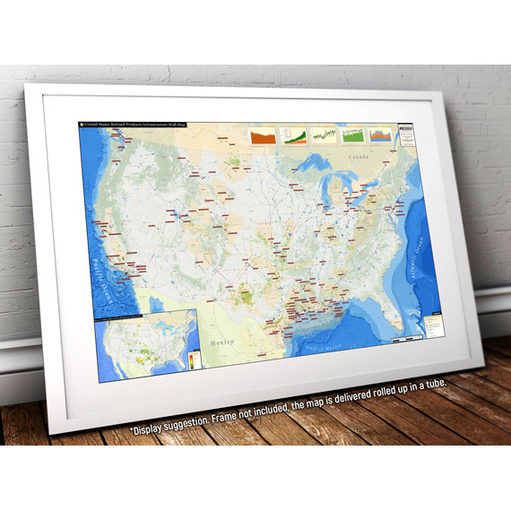
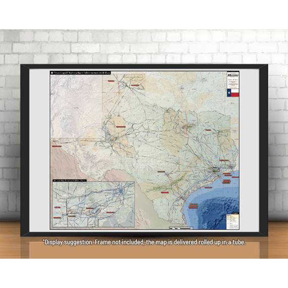
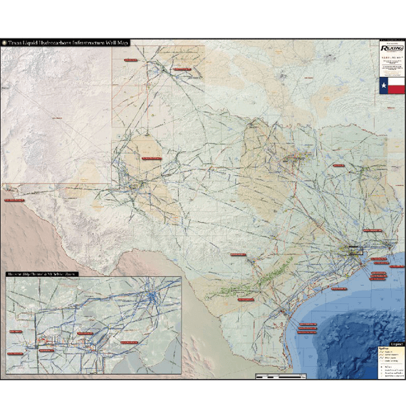
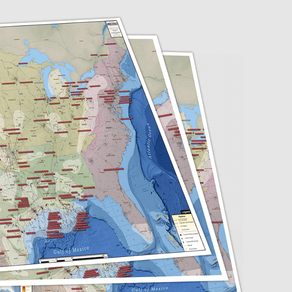
Texas Liquids Infrastructure


$ 449.00 / year
4 maps/year
SSL Secure Payments
100% Money back Guaranteed
Delivery 1-7 Days
Payment methods


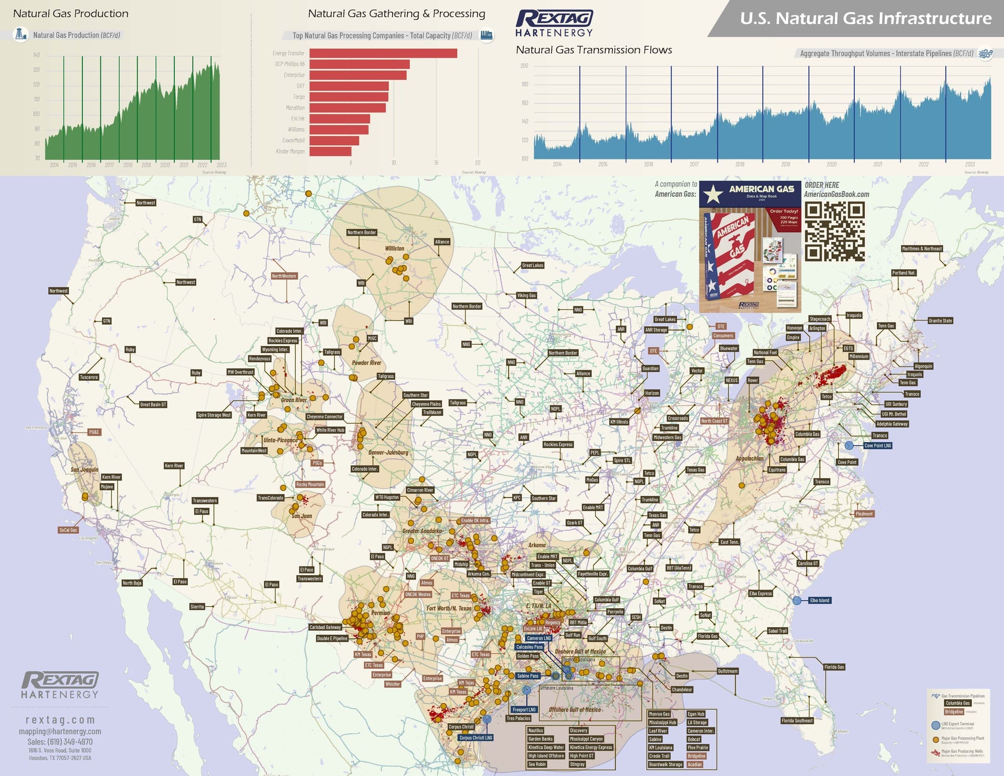
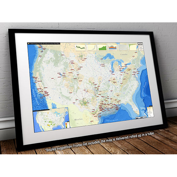
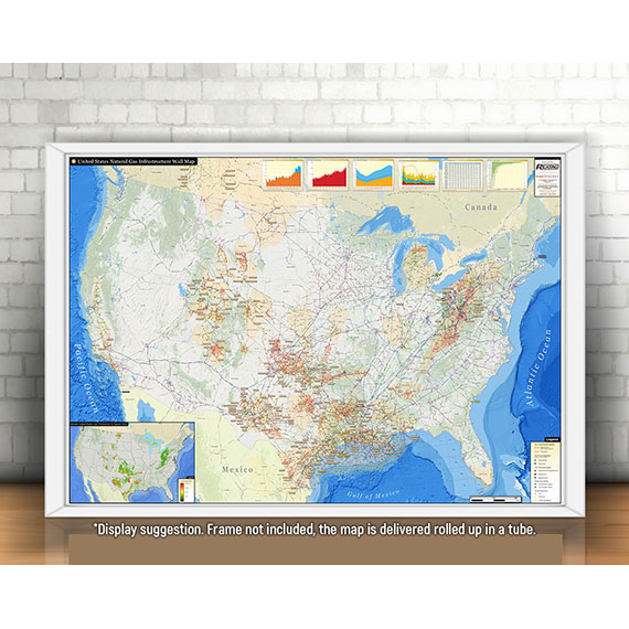
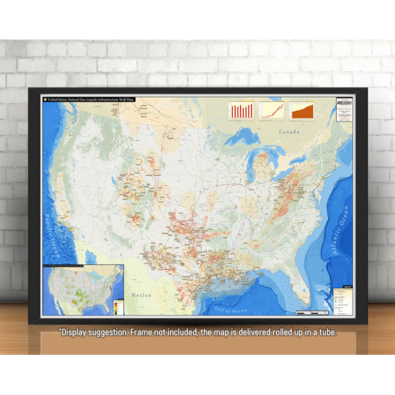
Few other states in the U.S. contain the amount of liquids production and infrastructure as within the state of Texas. Likewise, the Texas Liquids Infrastructure Wall Map offers an incomparable overview of the state’s major producing shale plays and the infrastructure to support them.
The Texas Liquids Infrastructure Wall Map contains the following features:
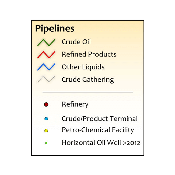
- Crude oil, crude gathering, refined products, and other liquids pipelines (color coded and labeled)
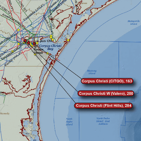
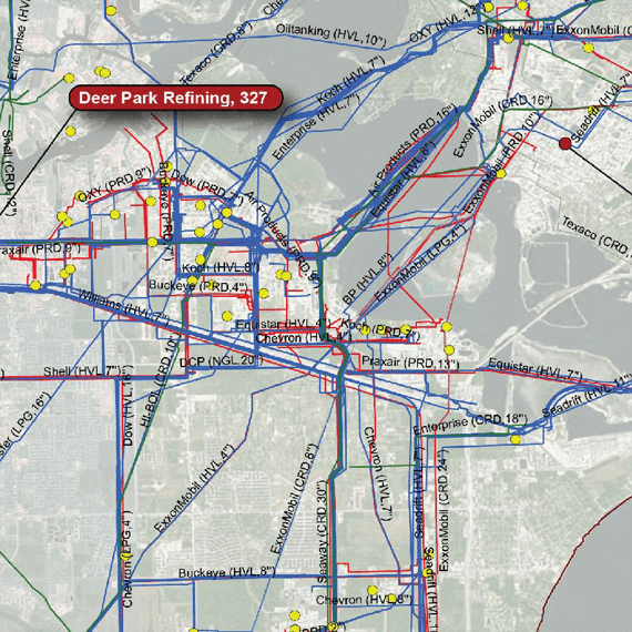
- Crude Oil Refineries (labeled with name and capacity)
- Crude and Product Terminals
- Petro-Chemical Facilities
- Horizontal Oil Wells (drilled/permitted after 2012)
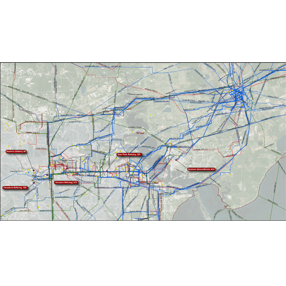
- A detailed insert of the Houston Ship Channel and Mt. Belvieu booming liquids processing and transportation network
The Small size (24''x34'') is specially designed to fit a cubical wall
 Get our Wall Map Subscription Service
- Updated version of your map 4 times per year
- Shipping included in the subscription fee
- Free shipping for 3 out of 4 maps
- Easy risk-free cancelation

Featured products