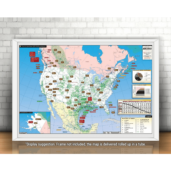
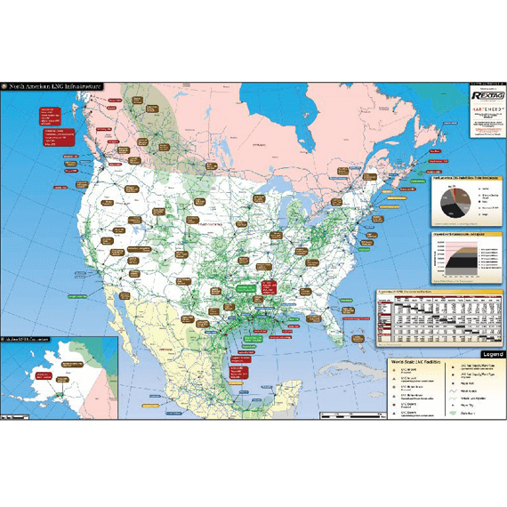
North American LNG


$ 449.00 / year
4 maps/year
SSL Secure Payments
100% Money back Guaranteed
Delivery 1-7 Days
Payment methods


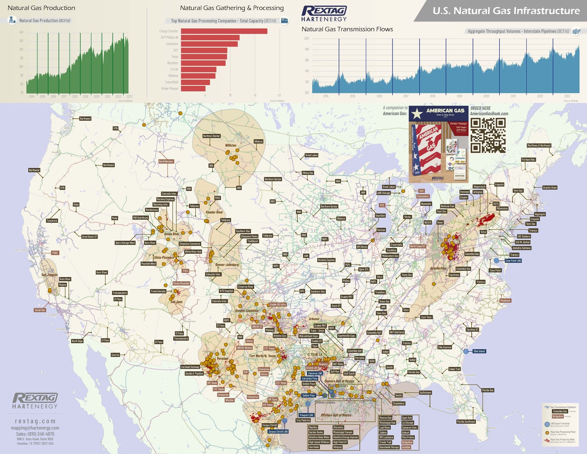
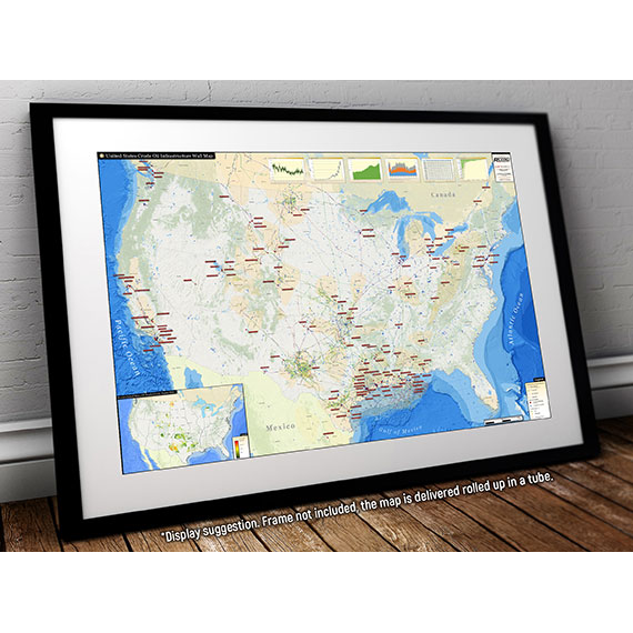
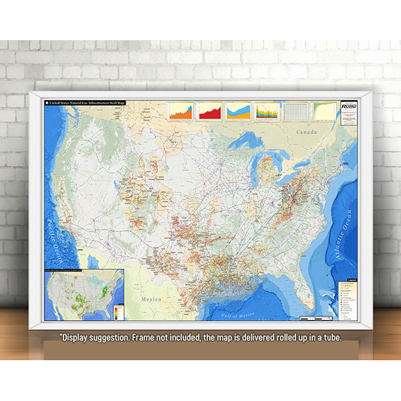
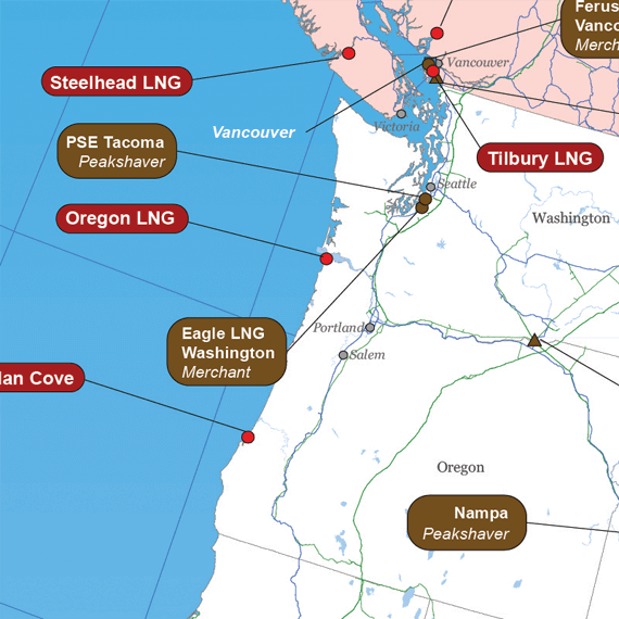
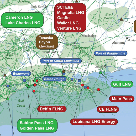
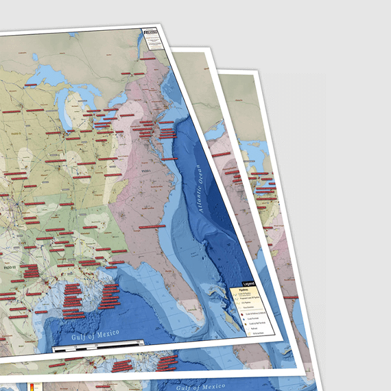
The North American LNG Wall Map provides the most comprehensive look at the LNG industry. The clean design of the map allows viewers to see a vast amount of crucial LNG industry data in an organized and easy to read manner.
The North American LNG Infrastructure Wall Map contains the following features:
(36" X 24")
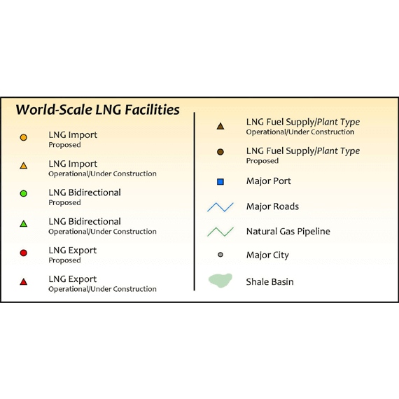
- Import LNG facilities (labeled and coded by operational status)
- Bidirectional LNG facilities (labeled and coded by operational status)
- Export LNG facilities (labeled and coded by operational status)
- LNG Fuel Supply Plants (labeled with names and plant type)
- Major Ports (labeled with names)
- Oil & Gas Basins (labeled with names)
- Natural Gas Pipelines
- Major roads
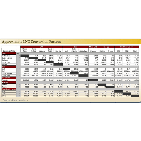
- LNG conversion chart
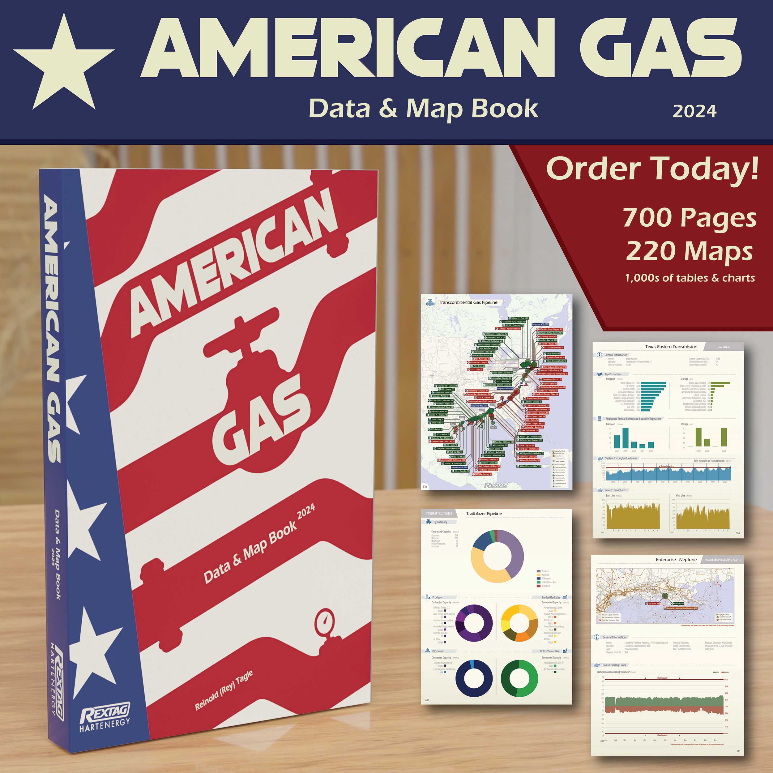
 Get our Wall Map Subscription Service
- Updated version of your map 4 times per year
- Shipping included in the subscription fee
- Free shipping for 3 out of 4 maps
- Easy risk-free cancelation

Featured products